- Department of Disaster Management
- ddmprovati@gmail.com
Need Help? Call us @ +8802222282367
DRONE SURVEY
Drone Survey
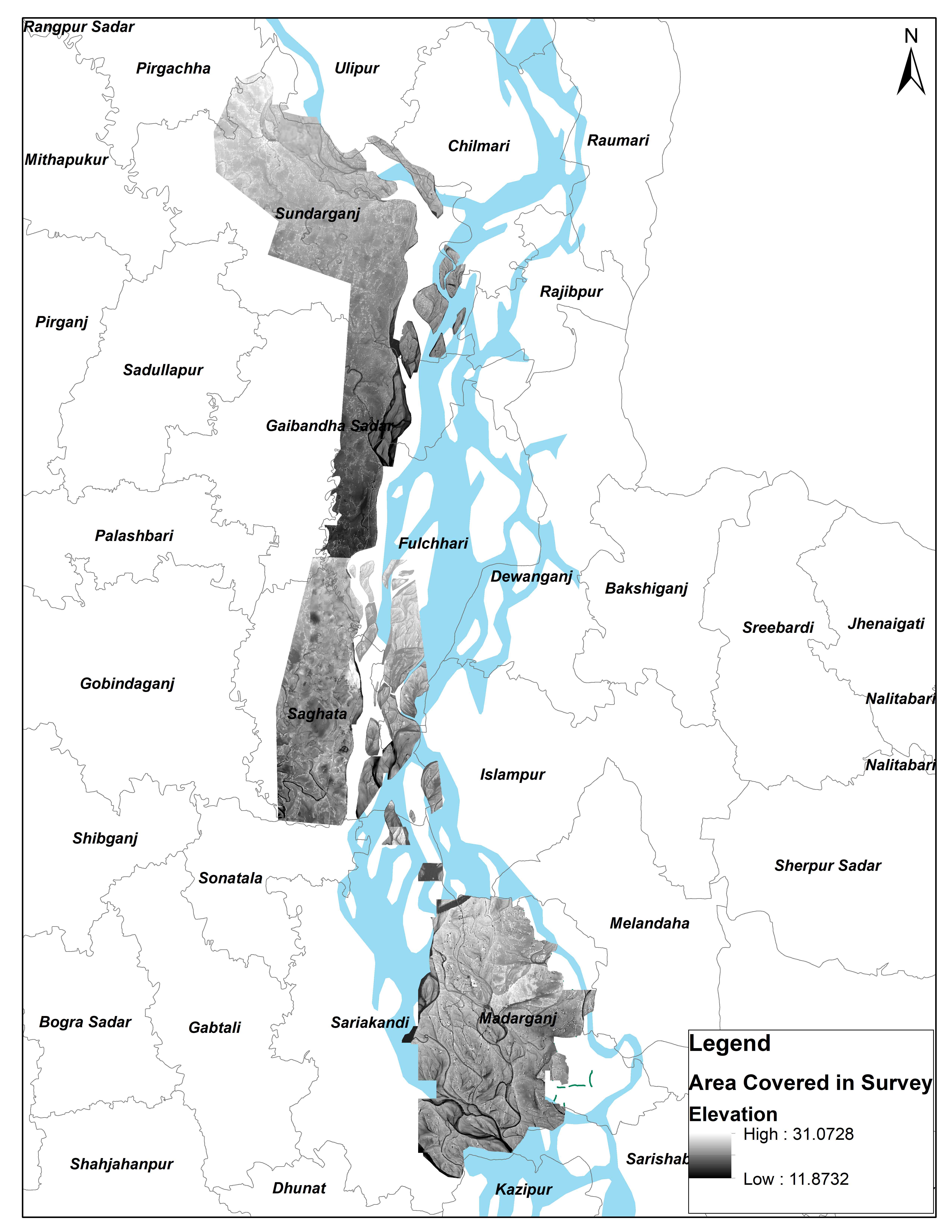
To enhance the accuracy of local level flood forecast, a topographic survey has been being conducted in the project area since December 2022. State-of-the-art LiDAR drone technology is being used which provides images of 2 m resolution. To this point, a total 719 square kilometers area has been surveyed The rest of the area is expected to be completed by 2024.